
Q Central and RAF 60 Group Radar
THE SECRETS OF Q CENTRAL
The Nerve Centre of Britain's Wartime Communications
Throughout the Second World War, Leighton Buzzard was the site of a vital top-secret communications hub described by the Air Ministry as the ‘nerve centre’ of wartime telephone and teleprinter operations. It connected all branches of the armed forces, code breaking, and clandestine operations. It remained a national secret for over sixty years.
More than 2,000 dedicated service personnel from across the country, mostly women, worked three shifts, 24 hours a day, to help coordinate the global war effort across Europe, the Far East, and the whole Commonwealth. By 1942 Q Central operated over 1,100 teleprinters and had become the largest telephone exchange in the world.
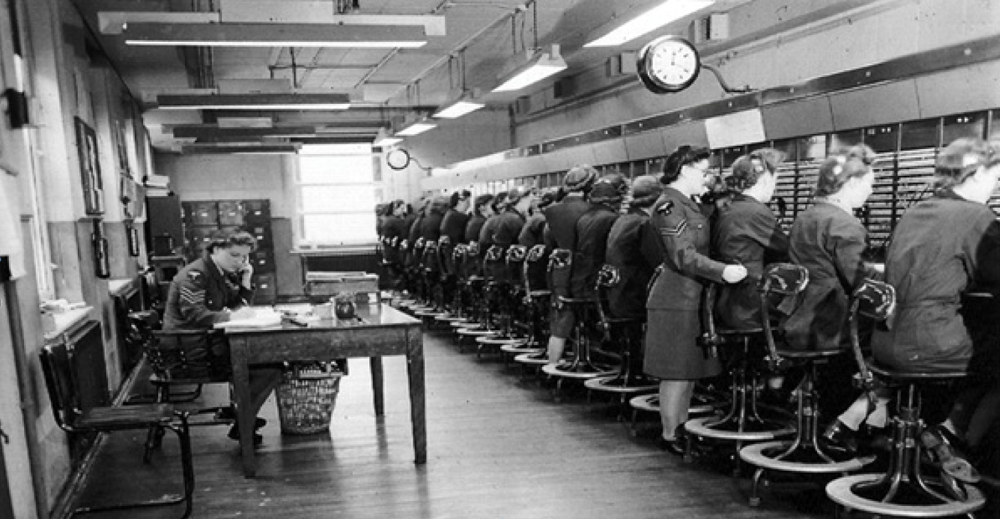
The world's largest telephone exchange in 1942
WHY LEIGHTON BUZZARD?
In 1938, the quiet market town of Leighton Buzzard was chosen as the home for Q Central because of its key location close to the nation’s backbone GPO telephone lines running along Watling Street and the Grand Union Canal, plus the excellent quality of radio signals in the area. Free of heavy industry and with no previous military installations to attract enemy attention, the town was close enough to London for easy access by military personnel and war leaders, but far enough away to avoid the expected bombing raids over the nation’s capital.
The base, originally named RAF Leighton Buzzard, was first established in the vast basement cellars of the Victorian Corn Exchange building in Lake Street, before a larger, purpose-built, and partly underground RAF facility was established in Stanbridge Road.
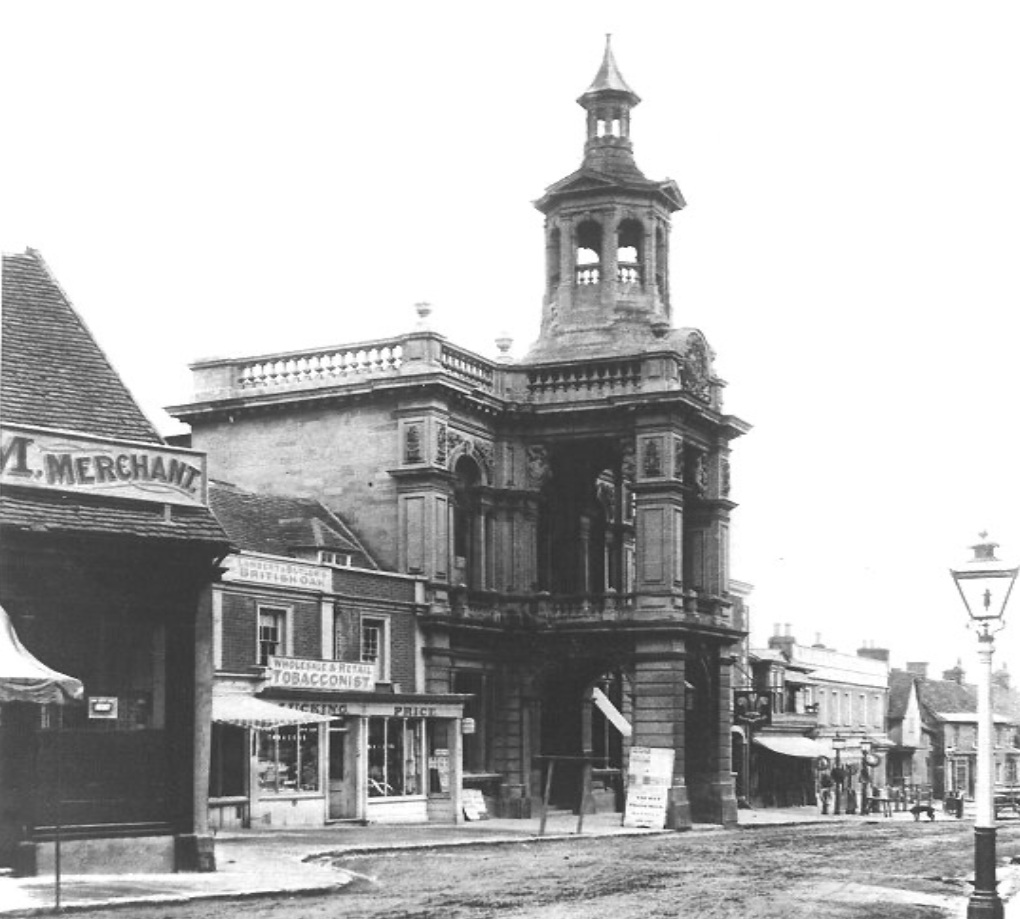
The Corn Exchange, Lake Street
HIDDEN FROM THE ENEMY
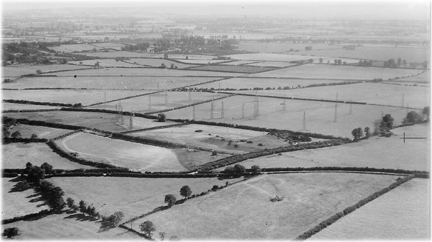
Can you spot Q Central?
RAF photo marked 'Secret' with radio masts in the background. All the Q Central buildings were hidden under camouflage.
Despite extensive German aerial photography of the area, Q Central’s location and existence remained completely unknown. A series of giant camouflage nets straddled the entire base. These were spray painted three times a year to match the colours of the changing seasons in the surrounding countryside. Fake trees and model sheep were even mounted on the roof to help confuse reconnaissance missions.
In case enemy spotters did become suspicious, a team of specialist set builders from Elstree Film Studios also created an entirely false building complex nearby so that enemy bomb aimers would miss the real target. A fleet of old cars were moved daily around this artificial base to give the impression it was in constant use.
Supported by a forest of high-powered radio antennae, the base was also surrounded by an ‘impenetrable’ perimeter fence, all nearby public roads were blocked, and the whole town was guarded by a large number of RAF Regiment troops night and day.
THE VITAL Q CENTRAL NETWORK
During the war, Q Central acted as the primary communications hub for all branches of the Allied armed forces, including the Air Ministry, MI5, MI6, MI8, code-breaking operations at Bletchley Park, Group 60 Radar HQ, the clandestine spy network across occupied Europe, and the MOD’s Met Office operation in Dunstable, which ultimately forecast the weather for the D-Day landings.
It was also at the heart of Bedfordshire’s secret propaganda war effort. Powerful transmitters and radio stations were set up to broadcast often misleading information to enemy troops and populations across occupied countries. A separate operation produced fake newspapers and leaflets in German, printed on the presses of the Luton News, which were dropped by American aircrews based at nearby Cheddington airfield.
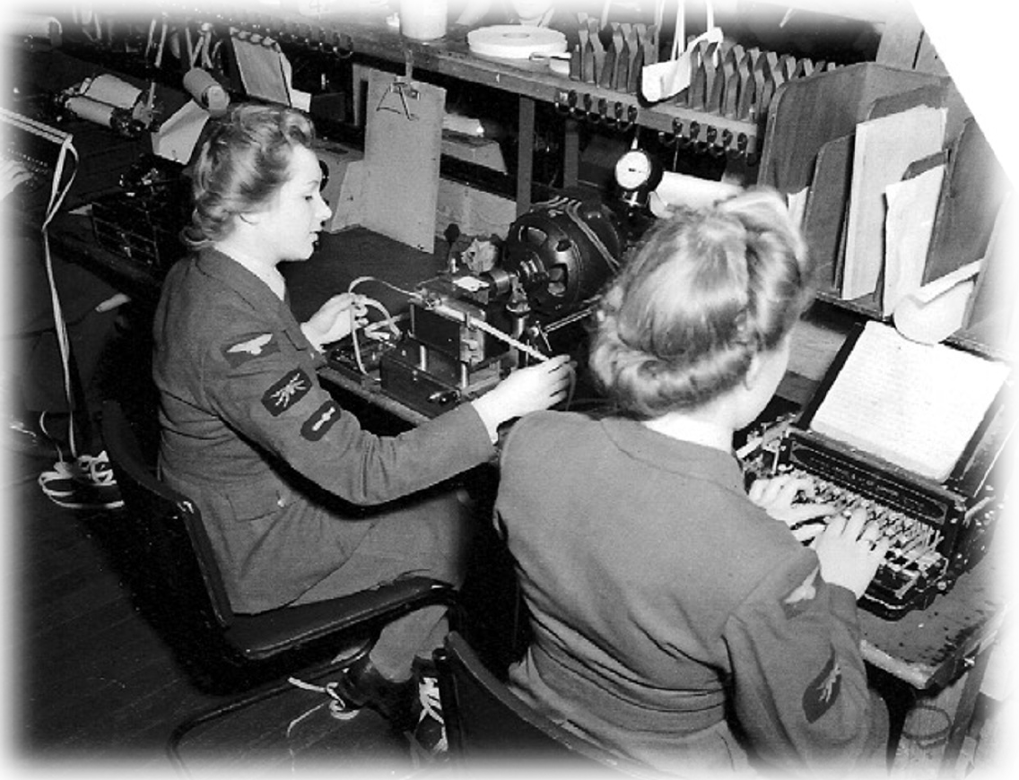
WAAF wireless operators creating Morse code tape messages for transmission across the vast network of wartime units
THE TRUTH REVEALED
Every member of Q Central staff was obliged to sign the Official Secrets Act, which is why its existence remained utterly secret for over 60 years, including from the town’s inhabitants.
After the war, RAF Leighton Buzzard was renamed RAF Stanbridge and the base maintained an important role as NATO’s main logistics hub during the Cold War.
The former Q Central site was eventually closed down in 2013. The MOD then lifted the long-lasting secrecy restrictions and its existence and critical wartime role finally became known. The blue plaque commemorating Q Central was unveiled in 2025.
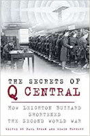
.jpg)
The Secrets of Q Central bestselling book is available here: https://www.lbdahs.org.uk/publications
RAF 60 GROUP HQ
The Home of British Wartime RADAR
“I have no hesitation in saying that without No. 60 Group and Radar, the Battle of Britain,
even the war itself, could not have been won.”
Commander in Chief - Fighter Command -Air Marshal Sir James Milne Robb
Of all the technologies deployed to defend Britain from enemy invasion and attack during WW2, RADAR was one of the most important, powerful and effective.
From the beginning of the war in 1939, through the Blitz and until Germany and Japan surrendered in 1945, Leighton Buzzard was the location for the top-secret Headquarters of RAF No. 60 (Signals) Group of Fighter Command, the organisation that ran Britain’s extensive chain of vital radar stations around the country.
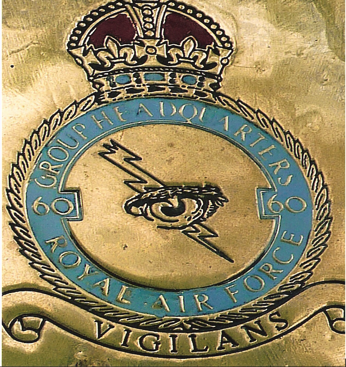
RAF 60 Group insignia
THE ALL-SEEING EYE
Developed by British scientists during the 1930s, RADAR (RAdio Detecting And Ranging) uses radio waves to silently detect and track distant objects.
Described as ‘the all-seeing eye’, its widespread deployment during the war’s early years allowed British forces to detect enemy activity in the air and on the sea, giving RAF squadrons, Navy and Army bases, merchant shipping ports, key industrial centres, and civilian populations essential forewarning of German bombing and air raids.
Overall, the RAF estimated that 5,000 enemy aircraft were shot down as a result of information supplied by the network of Radar stations run from Leighton Buzzard.
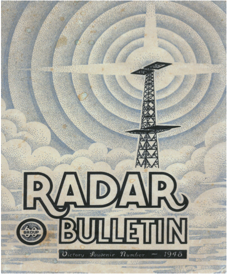
Radar Bulletin Cover
AN IDEAL SECRET LOCATION
Radar HQ moved to Leighton Buzzard in a “panic” on the 1st of September 1939, just two days before the war began. The British government feared its original HQ on the Essex coast had already been observed by German airships and would be a prime target. Leighton Buzzard’s quiet location and close proximity to the top secret communications hub at Q Central made it the perfect option for more secure nationwide radar information gathering.
Combining civilian scientists and RAF personnel, 60 Group initially occupied Carlton Lodge on Heath Road. But as the nation’s radar operations rapidly expanded, it became too small
so the RAF requisitioned an additional larger Edwardian mansion, Oxenden House in Plantation Road.
Staffed by an impressive number of high-ranking RAF officers and WAAF servicewomen, Oxenden House became the primary HQ for the rest of the war and acted as the control and command centre of radar operations for the Battle of Britain, D-Day, and the campaigns in North Africa, the Middle East, Italy, and Germany.
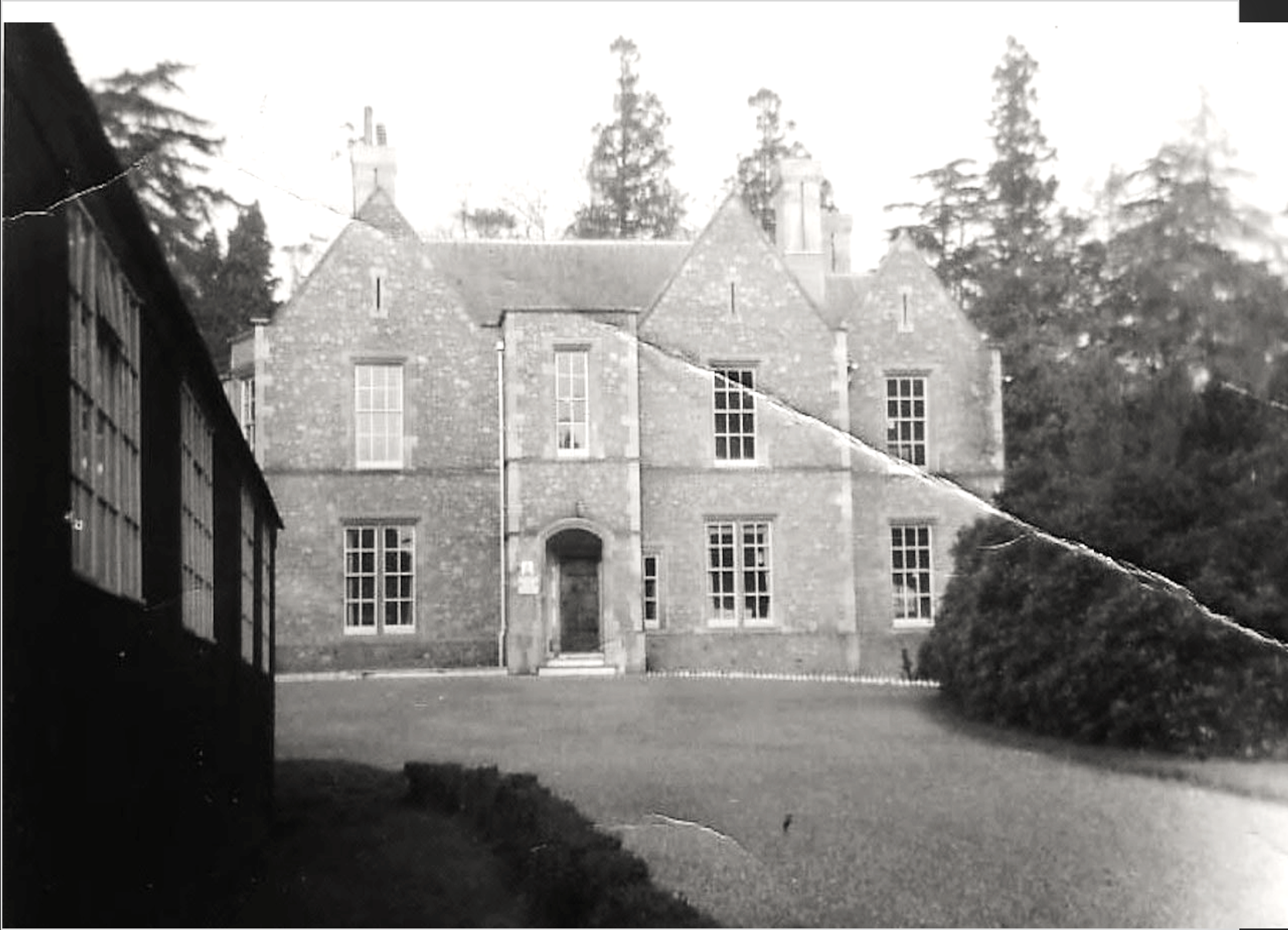
RAF 60 Group HQ, Oxenden House, Plantation Road
DEFENDING THE NATION
RAF 60 Group’s Leighton Buzzard control centre also oversaw the establishment of all new radar stations around the coast, despatched specialist teams to repair equipment after enemy attacks, and replaced personnel with newly trained operatives.
It also supported a national training school for Radar plotters based at nearby Q Central. The plotters, all WAAFs, transferred incoming radar information to meaningful physical maps of where enemy aircraft and ships were, and where they were heading. The Q Central plotter training base was also designed to be a vital back-up if the Air Command’s main plotting unit at Stanmore was destroyed.
By September 1942, No. 60 Group’s nationwide personnel had grown enormously to over 18,000 people, including 786 RAF officers, 315 WAAF officers, 90 American officers, about 12,000 airman, 5,000 WAAF and WRNS women support staff, and 300 civilian ‘boffins’. Most of them had worked or trained in Leighton Buzzard before being posted to radar stations around the country.
Images:
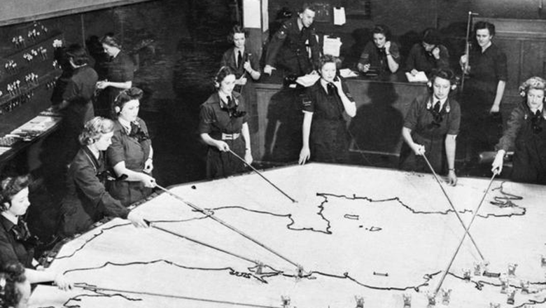
WAAF Operations Room Plotters
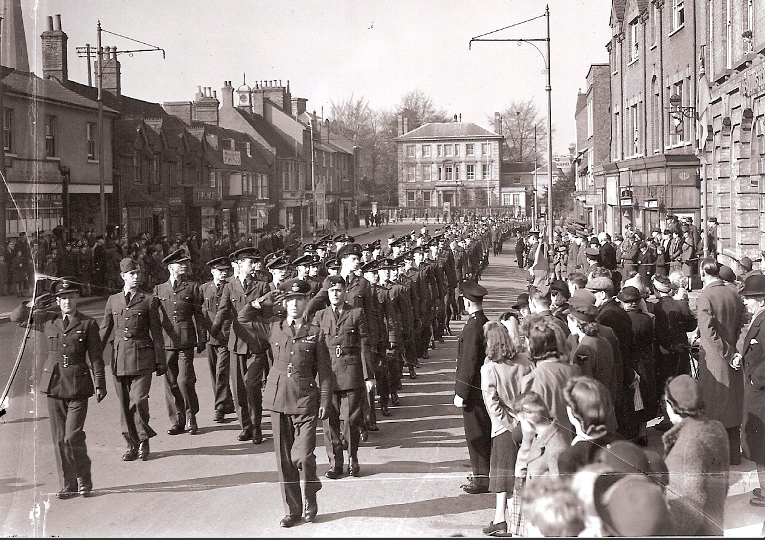
RAF 25th Anniversary Parade – April 1943
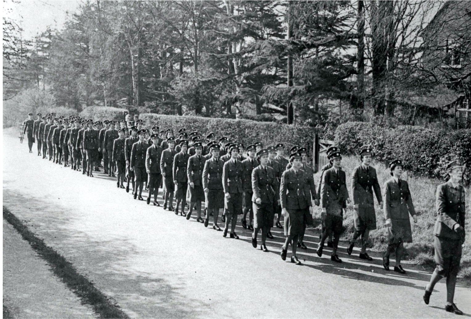
No. 60 Group WAAFs march along Plantation Road
AT THE HEART OF BRITAIN’S RADAR NETWORK
After 6 years of rapid growth from a handful of experimental stations on the Southern and Eastern coasts of England in early 1939, Britain’s radar network had expanded to 189 operational stations nationwide, monitoring air, sea and land activities across multiple fronts. The featured map shows where each primary UK station was located by 1945, all feeding directly back to the main command and control centre here in Leighton Buzzard.
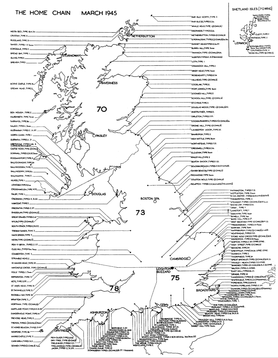
RADAR map of UK 1945
At the end of the war, No. 60 Group was disbanded and subsumed into the new No. 90 Group (Signals). A plaque erected in 2000 in the gateway of what is now a residential home on Plantation Road marks the site where Oxenden House and No. 60 Group HQ once stood.
The Secrets of Q Central bestselling book is available here: https://www.lbdahs.org.uk/publications



Sponsored by: LLTC, LBDAHS, LB First & All Saints Church